Gail, Texas


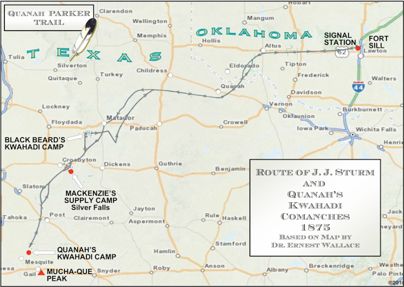
Chief Quanah’s
Last Camp
The site of Quanah Parker’s last encampment before his 1875 surrender and journey to Fort Sill was near present-day Gail and Mucha-Que Peak,
a Borden County landmark. A Trail Arrow went into place near the museum in Gail on May 24, 2014.
HANABA MUNN WELCH
© 2011
©
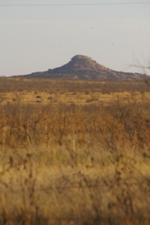
VIEW OF
MUCHA-QUE PEAK

Mucha-Que Peak is visible from U. S. 180, the highway that runs east-west through Gail. The peak is on the south side of the highway. Look for it.


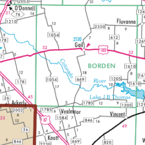


Gail

PECOS
TRAIL
REGION


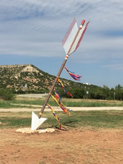
Trail Arrow decorated with streamers, handiwork of the Borden County Historical Commission, to celebrate Quanah Parker Day,
Saturday, September 14, 2019.
COURTESY PHOTO
FROM LISA MAHLER


JULIE MUMME SMITH
© 2019