Memphis, Texas


Memphis
© 2012
CALLIE MOLLOY for the
HALL COUNTY HERALD


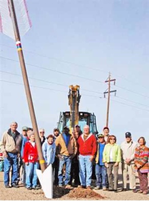
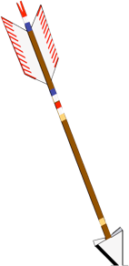
Arrow Stands Tall
on U. S. 287 in Memphis
Like his arrow, sculptor Charles Smith stands tall at the end of a line of people posing for a photograph following the December 2012 installation of a Quanah Parker Trail arrow alongside U. S. 287 on the south edge of Memphis near the town’s welcome sign.
The arrow is probably the most visible trail marker to the largest number of people traveling through the Texas Plains Trail Region.


A Comanche trail crossed the Prairie Dog Town Fork of the Red River, Tah-deko Hon-ah-vah, in the part of Comancheria that is now Hall County, an area that lies along the Texas Caprock. By some accounts, the region was a place where Native American tribes gathered salt to add to their food and to preserve meat.
Cheyenne and Comanche battled the U. S. Army in what came to be known as The First Battle of Palo Duro. The site is near Mulberry Creek and Battle Creek. The engagement was part of a series of battles called the Red River War.


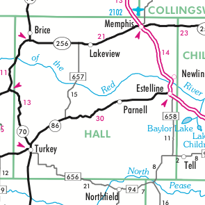
Turkey