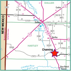
Channing


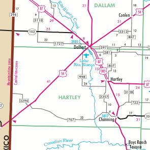


Channing,Texas

XIT
Marks the Spot
Hartley County’s Quanah Parker Trail Arrow stands at the XIT Ranch General Office Building at 500 Main Street in Channing.


The Comanche and other Indians no doubt crisscrossed present-day Hartley County in their far-reaching travels. Rita Blanca Creek provided a natural route to follow.
The Santa Fe trail lay to the north, stretching from Missouri to Santa Fe and cutting across the present-day panhandle of Oklahoma. For Indians who raided the Santa Fe Trail from the south, Rita Blanca Creek was a natural route up to the trail and back.
The XIT Ranch, before it was the XIT, was at the heart of the vast Comanche territory called Comancheria.
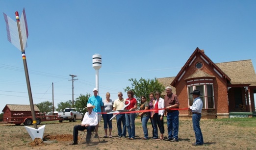
ARROW INSTALLATION
IN CHANNING
JULY 26, 2013


© 2013
H. HUMPHRIES